FME Form

FME Form
FME, l’ETL pour tous les types de données
FME est un outil de traitement des données conçu à l’origine pour manipuler des informations géographiques mais qui s’est montré terriblement efficace pour traiter des données de toutes natures avec une interface et une ergonomie sans égal pour un coût sans rapport avec les ETL généralistes.
Bases de données, SIG, tableurs, images, XML, plans CAO, cloud, big data, nuages de points… FME est capable de lire et d’écrire plus de 500 formats et propose des centaines d’opérateurs pour tous les besoins.
FME est l’indispensable compagnon de tous les gestionnaires de données mais il peut également devenir l’un des piliers de votre architecture informatique en assurant l’interopérabilité entre vos applications, l’automatisation et la planification des tâches avec FME Flow.
FME Workbench
FME Workbench est le composant principal de FME Form. Il permet de concevoir sans ligne de code n’importe quel traitements de conversion et de transformation de données. Son interface en français permet de représenter les traitements les plus complexes de manière totalement graphique grâce à des centaines d’opérateurs (Transformers) adaptés à tous les usages.
Vous pouvez également exploiter votre propre code Python sans vous soucier de la lecture et de l’écriture des jeux de données.

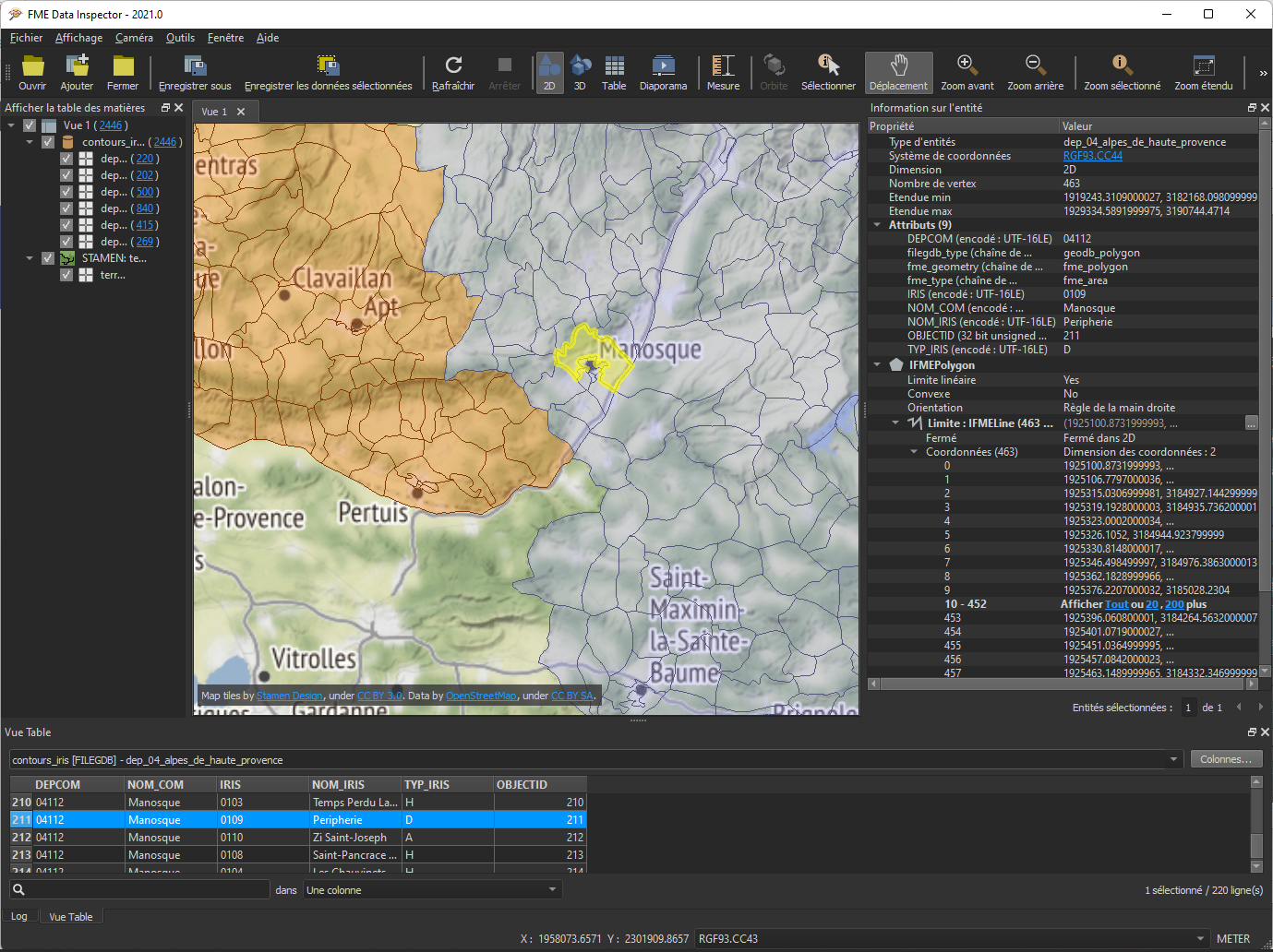
FME Data Inspector
FME Data Inspector est un outil de visualisation adapté à tous les formats supportés par FME qu’ils soient de type texte, image ou vectoriel.
FME Data Inspector est utilisé pour analyser les jeux de données à traiter et les résultats des traitements mais c’est surtout un exceptionnel et indispensable outil de débogage qui vous permet de visualiser l’état de tous vos flux de données à n’importe quel moment du traitement : le rêve des développeurs !
Conférence FME 2026
Nos dernières études de cas autour de FME
-
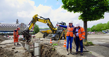
Quarta optimise ses processus géospatiaux avec FME Flow
Guidée par une stratégie d’innovation continue, la société Quarta a choisi FME Flow pour améliorer ses process de traitement de données. Exemple avec la production de fiches de station, indispensables à la bonne exécution des travaux de génie civil.
-

Avec FME, la Région Bourgogne-Franche-Comté reprend la main sur ses données
Grâce à sa facilité d’utilisation, FME permet à la Région Bourgogne-Franche-Comté de ré-internaliser le traitement de ses données métiers.
-

De FME Form à FME Flow : comment la Mairie d’Avignon orchestre ses données
La Mairie d’Avignon emploie quotidiennement FME depuis plus de dix ans pour une variété de missions qui ne se limitent plus au traitement de données géographiques.

Veremes vous accompagne
dans votre projet
FME est commercialisé sous différentes formes en licence fixe ou en licence flottante. Chaque édition comporte les mêmes composants logiciels. Les formats, les Transformers et/ou les applications intégrées disponibles dans FME dépendent de la version choisie.
FME Form en français
Veremes assure la traduction en version française du logiciel ainsi que de nombreux documents techniques. En savoir plus.
Support technique
Besoin d’aide ? Notre support technique vous assiste en français sur toute notre gamme de produits. Contactez notre support.
Formations
Que vous soyez néophyte ou confirmé, que vous souhaitiez une formation sur site ou à distance, découvrez nos formations dispensées par nos experts certifiés.
Démonstration sur demande
Vous voulez voir comment fonctionne FME ? Vous souhaitez évaluer sa capacité à résoudre votre problème ? Nous vous proposons une démonstration à distance, sans engagement et sur simple demande par un de nos experts certifiés.
Et plus encore
Vous devez mettre en place des projets et avez besoin de faire appel à un serveur, d’automatiser vos tâches ou travailler de manière collaborative et sécurisée ? Découvrez FME Flow, la solution de planification de traitements et de gestion de flux de données de Safe Software.
Ressources et documentation
Les formats supportés par FME
Guide des Transformers de FME
Documentation française des Transformers de FME
Guide d’installation FME Form (français)
Documentation de la plateforme FME (anglais)
Plaquette de présentation de FME

Actualités
-

Automatiser l’intégration de factures avec FME
Veremes a développé un système de lecture et intégration des factures grâce à FME pour répondre à ses besoins.
-
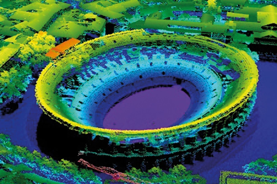
FME et les données Lidar
Cet article présente ce que FME permet concernant les nuages de points, et aussi ce qu’il ne permet pas…
-
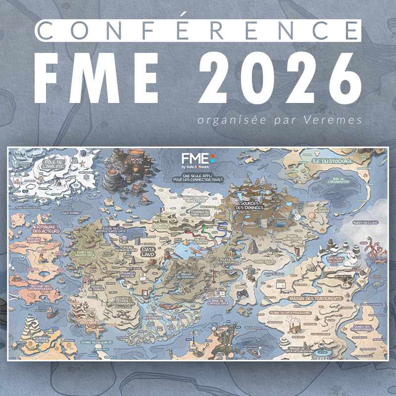
FME 2026 – Conférence française des utilisateurs de FME organisée par Veremes
Conférence FME 2026 organisée par Veremes – Jeudi 04 juin 2026 – De 9h à 12h